Maps

I'm hoping to collect some spatial perceptions, memories, and information from my interviews on these maps of the city and the region. I'm interested to see how each person's work or social situation might produce or create a reading of the space.


Saturday 18th May: Experimental Video Workshop

Today I led the first part of a two-part experimental video workshop at Diyarbakir Sanat Merkezi (Diyarbakir Art Centre) in Ofis. It was designed to break down some of the 'canonical' works* into single actions that played with ideas of SPACE and VOICE--the two main components of my practice. With a strong traditional documentary tradition (in both film and photography) in Diyarbakir, I was attempting to work with a way to introduce critical concepts of disrupting the field, and making the medium visible to itself. It was interesting exploring terminologies such as space, which cannot directly translate in meaning between English and Turkish.

The task set for the next session was to use one of the actions proposed in the films to explore ideas of "THE EDGE" of the city (again, edge does not directly translate, but ideas proposed by the borders of language, those by class, and those by the military are very visible in the daily life of the city). I'm really looking forward to see what everybody comes up with!


The works cited, and their actions are here.

*drawn from the pool of those available online - I can't overstate the importance of keeping this knowledge in publicly accessible domains as an educational tool. Thanks to the custodians!

Towards work

My week or so of settling in to the city is over, and I have been beginning to think about some of the spatial and architectural conditions I'd like to work with. It's in many ways a liminal space, with conflict-driven areas of urban growth and ingrained biopolitical control, emergent nationalisms, and capital-driven expansions and demographic shifts.

For now, I'm interested in exploring the material narratives of the city because it seems that at the opposite ends of the two poles of construction (the preservation and subsequent use of heritage buildings, and the new growth of city to accomodate both the expanding middle classes and IDP populations from the cleared countryside) are basalt and marble quarries and brick and cement factories, connected by political processes, globalisation and labour flows. I'm interested in tracing lines of production, extraction, and transit, and the modes of use and appearance of the very different materials.

A drive to Hasankeyf

The uncharacteristically brooding skies hanging over the region continued, but the rain held, as we drove to Hasankeyf in Batman province, to see some caves that had supported continual human habitation for 12,000 years. Hanging in cliffs above the Tigris, and fanning away from the river following shallow natural valleys, the soft stone of the surface of each cave flakes pastry-like, and was hollowed by the joint efforts of water and hands, to form a complex that once housed thousands of people.

The entire population of cave-dwellers was forcibly evicted in the 1980s (crushing yet another unique socio-architectural environment), and the site was declared a conservation area in 1981. More recently, the entrance to the main complex has been fenced off and is guarded by two guards, although a brief tour of the left-hand valley is possible with a local Kurdish boy. Goats skitter and teeter on the rocks, and gnaw at the low-hanging leaves from fruit trees, creating neat topiary edges as far as their necks can crane. From the path the caves are dark, and many of them contain the threatening twists of discoloured textile and scattered plastic that accompany abandonment. Every so often satellite dishes and water containers jar with the surface of the stone, as a reminder of the recent evacuation. At the far end of the walk a single family holds on to their home, and another guards a carpet-dressed cave as a small museum, where each entry pays also for a bottle of water.

Contemporary stalls and cafes line the roads that lead to the caves, and some sit on stilts in the river, but business is waning since the fence was built as fewer and fewer people visit. Although the official line was that it was built for safety, citing a death, what was actually a viable dwelling environment for so many thousands of years seems instead to have been threatened with a more sinister design on erasure. In an almost unbelievable trepass on the footprints of global history, the planned Ilısu Dam project will swell the river to flood the entire valley, raising the water levels to cover the caves, the town, and all the contingent livelihoods completely. Once under water, its action on the soft stone will quickly erode all traces of the thousands of years invested in the site.

Some more information on the British campaign against the dam here.


^If the dam is built only the tower at the very top of this cliff will be visible, as a small island floating in the new lake.


^Kurdish coffee from a cafe terrace at the very edge of the fenced-off cave complex.


^ The skies finally broke as we stopped for lamb in Batman on the way home.

Thursday 9th May - a walk to the Conservatory

A walk to Cegerxwin Gençlik Kültür ve Sanat Merkezi, a Kurdish Language cultural education centre for media and performing arts.


Behind the main streets of Ofis, where the Diyarbakir Arts Centre office is located, are pedestrianised artisans' lanes based on European city plans.

Fresh chickpeas are delicious, and available from street carts for 1TL (around 33p).


This hand is anatomically inexcusable and frightening.


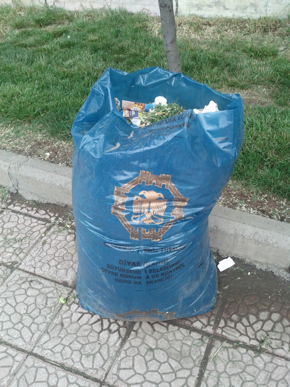
The municipality's bin bags are nice...

...as are the pavements in the new cement high-rise suburbs of the North West.